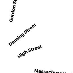
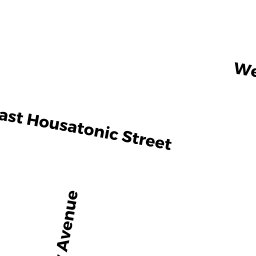
9 HIGH ST
Owner Information
REYNOLDS KELSIE M
9 HIGH ST #9
PITTSFIELD, MA 01201


Property Details
9 HIGH ST is classified as a Single Family Residential (4:conv).
The primary structure on this property was built in 1880. There is 1,212ft2 of residential/living space within this property. This property is listed as having 7 rooms.
9 HIGH ST is valued at $108,200. The land is valued at $47,800 and the structures are valued at $60,400.
This property is in Zone RM. Confirm with local Zoning Board authorities to ensure there are no overlays or other easements on this property.
The most recent deed for 9 HIGH ST is recorded at the local registrar in Book 5670, Page 81. 9 HIGH ST was last sold on Friday, December 11, 2015 for $97,850.
Assessment data from fiscal year 2021.
Flood Data
According to the FEMA National Flood Hazard Layer, this property does not appear to be in a flood zone. It may also be in an area not yet reviewed. Nonetheless, confirm this information prior to taking any action.
To view the flood hazards around this property, create a FEMA "Firmette" Map of the area around 9 HIGH ST.
Broadband Internet Providers
| Provider | Type | Bandwidth (mbps) | |
|---|---|---|---|
| Charter Communications Inc | Cable | 940 | 35 |
| T-Mobile | Fixed Wireless | 25 | 3 |
| GCI Communication Corp. | Satellite | 0 | 0 |
| HughesNet | Satellite | 25 | 3 |
| VSAT Systems, LLC. | Satellite | 2 | 1 |
| Viasat Inc | Satellite | 35 | 3 |
| Verizon New England Inc. | DSL | 10 | 1 |
Broadband service provider data from December 2020.